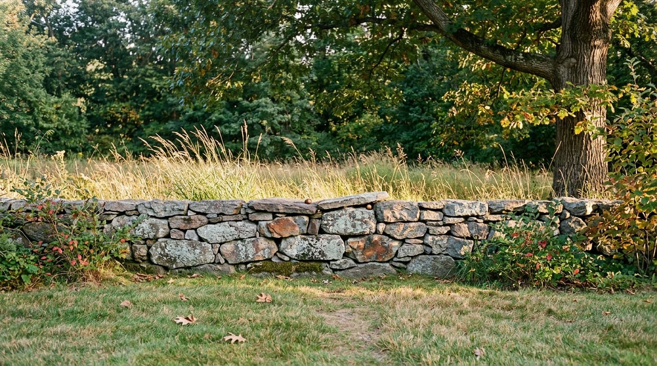
Walk the loop at Centennial Reservation on any weekday evening this August and you will pass other regulars: a woman with two whippets who cuts through the meadow toward Maugus Hill, a man who stops at Benzanson Pond to let his kids look for frogs, a jogger who takes the pine grove section at a pace that suggests she has done this a thousand times. None of them are thinking about where the property line runs. Most could not tell you if you asked.
That line matters more this year than it has in decades, because a piece of the land under their feet is not, strictly speaking, protected the way most of Centennial Reservation is. Understanding where that boundary falls, and what is happening on the other side of it, changes how you might use this trail and how closely you might want to follow what happens to it next.
A Bicentennial Project That Outgrew Its Name
Wellesley's trail system did not start as a real estate amenity or a tourism pitch. It began in 1975, when the Wellesley Celebrations Committee proposed a biking and walking trail network as the town's Bicentennial project, and Town Meeting voted to fund it. Nearly twenty years later, in 1993, the Natural Resources Commission formed a sixteen-member Bikeways and Walkways Study Committee to plan trails for what it called "the 90's and beyond." Out of that came the Wellesley Trails Committee in 1996, which drew up the Crosstown Trail along the Cochituate Aqueduct and built a demonstration segment between Woodlawn Avenue and the Schofield School the following year.
That patchwork has grown into a network the town now measures at 48 miles total, 30 of which are marked and interconnected with color-coded arrows, purple for woodland trails, other colors for the longer connecting routes. It is a volunteer operation. The same committee members who lead guided walks also clear brush, replace trail markers, and stock the map houses at trailheads.
The Loop Everyone Walks
Centennial Reservation is the clearest example of what that volunteer work produces. The town bought the land in 1980 as part of Wellesley's 1981 Centennial Celebration, and the resulting trail climbs through rolling meadow to the top of Maugus Hill, one of the higher points in town, with a sightline to the Blue Hills in Canton across a hillside overlooking Needham. The loop then drops back down around Benzanson Pond, a shallow pond that doubles as an off-leash swimming spot for dogs and a habitat for frogs and tadpoles.
What most walkers do not register is that this loop does not stay on town land the entire way. Centennial Reservation, 40 acres and formally protected under Article 97 of the Massachusetts Constitution, sits directly against a 45-acre parcel owned by MassBay Community College. The two properties are contiguous enough, and the trail markers consistent enough, that they read as one continuous 85-acre reservation. They are not the same thing under the law, and that distinction is now the subject of an active dispute.
| Centennial Reservation | MassBay Forest (abutting parcel) | |
|---|---|---|
| Owner | Town of Wellesley | MassBay Community College |
| Legal protection | Article 97, permanently protected | Currently listed as surplus land |
| Acreage | 40 acres | 45 acres |
| Proposed use | Unchanged | Site of a proposed sale for 180 or more housing units at 40 Oakland Street |
What "Surplus" Actually Means Here
The parcel carries a "surplus" designation that a resident group called Friends of Brookside disputes, arguing the land functions as core conservation land and should qualify for the same Article 97 protection as the reservation next door. The state's Executive Office of Energy and Environmental Affairs has separately identified both parcels as prime forest, and part of the group's case rests on infrastructure most residents never think about: the entire area sits within Wellesley's Water Supply Protection District, and six of the town's ten drinking water wellheads are located there.
The Wellesley Select Board took the dispute seriously enough to send a seven-page letter to Ed Augustus, the state's Secretary of Housing and Livable Communities, laying out 37 questions about the proposed sale before any transaction moves forward. A grassroots campaign called Save MassBay Forest has collected more than 3,300 signatures asking the state to remove the parcel from its surplus land inventory, and lawn signs from the effort are now a familiar sight in yards well beyond the immediate area.
None of this has closed the loop at Centennial Reservation or rerouted the trail. The Wellesley Trails Committee, which built and maintains that trail, has posted its own statement on the MassBay development and what it could mean for the Centennial Reservation trail on the town's trails page. If the land changes hands, the walk that currently feels seamless would not necessarily stay that way.
The Rest of the System
Centennial Reservation is one entry point into a network that stretches across nearly every corner of town, and most of it carries no such uncertainty. A few segments worth knowing, especially now that the evenings have cooled enough to make the wooded sections comfortable again:
- Fuller Brook Path, the town's most heavily used trail for walking, jogging, and cycling, runs along Fuller and Caroline Brooks on an ADA-accessible stone dust surface. The park was established in 1899 and is listed on the National Register of Historic Places, which makes it one of the oldest deliberately designed green corridors in town.
- The Crosstown Trail, following the Cochituate Aqueduct, was the Trails Committee's founding project and still provides the east-west spine that ties neighborhoods together without putting anyone on a sidewalk.
- Sudbury Path and Waban Arches combine an aqueduct walk with a genuine view: the top of the Waban Arches looks out into both Needham and Natick, a rare vantage point for a town this flat.
- Hemlock Gorge, anchored by the seven-arched Echo Bridge, sits at the exact corner where Wellesley, Needham, and Newton meet along the Charles River. The bridge deck is open to walk across, and the gorge below it stays notably cooler on a warm afternoon.
- The Lake Waban Trail, largely on Wellesley College's 500-acre campus, is one of the most scenic lakeside walks in town, though hikers should know the full loop is closed where the southern section crosses private estate land. Most people treat the open college portion as an out-and-back rather than forcing a full circuit.
- Boulder Brook Reservation and Kelly Memorial Park, near the Bates School, hold some of the more unusual geology in town: large glacial erratics and a scenic overlook at a spot called Rocky Ledges, remnants of the same glacial activity that carved Longfellow Pond's esker a few miles away.
The Grand Tour, and What It Tells You
Each June, the Trails Committee runs the Grand Tour, an 11-mile hike that is roughly 75 percent off-road and links three of the system's greenway corridors: Fuller Brook Park, the Cochituate Aqueduct, and the Sudbury Aqueduct. It is a fixture of the trail calendar, a strenuous four-hour walk with rest breaks that draws dozens of residents willing to cover the whole network in a single morning.
The event is worth noting for what it represents rather than the mileage. The people leading it are the same committee members writing the trail statements on MassBay, marking new trail segments, and deciding where the next map house goes. Wellesley's trail network has never been a fixed piece of infrastructure. It has been built, contested, and maintained by residents who treat it as an ongoing project, one worth walking with your eyes open to what is actually protected and what is currently up for a decision.
If you are weighing what a specific address in town actually offers, whether that is proximity to a trailhead, distance from a proposed development site, or simply how a neighborhood connects to the rest of Wellesley on foot, that is exactly the kind of local detail worth a direct conversation. Laura Wurster has spent years working these neighborhoods block by block, and a quick consultation can tell you more about a specific street than any general guide can.
This article is general information, not legal, tax or financial advice. Consult a qualified professional about your situation.